Canada faces a biodiversity crisis that most people don’t fully grasp. Over 600 species in this country are now at risk of extinction. Monitored vertebrate populations have declined by an average of 10% since 1970, with some groups like forest mammals experiencing drops of 42% over five decades.
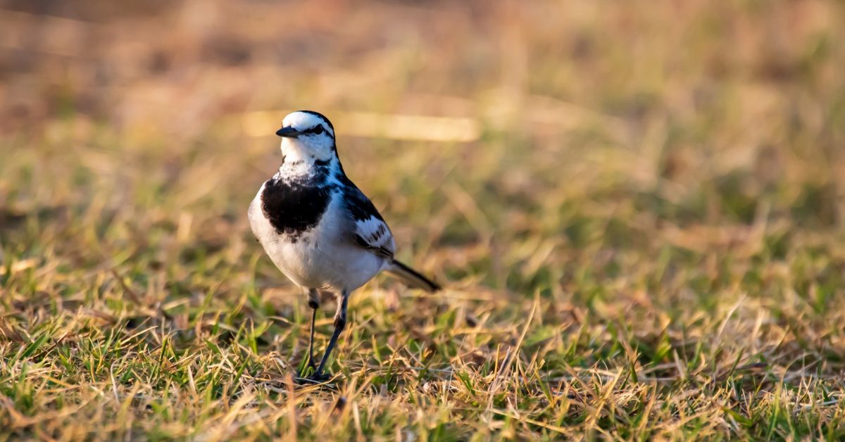
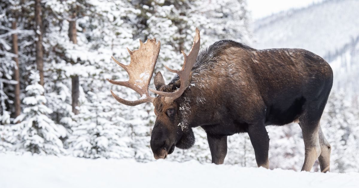
These numbers represent real losses. Fewer caribou moving through northern forests. Salmon runs that no longer support the communities that depend on them. Bird populations that have shrunk so dramatically that the silence in some areas is noticeable.
The 30×30 goal offers a response. In December 2022, Canada committed to protecting 30% of its land and water by 2030 as part of the Kunming-Montreal Global Biodiversity Framework. This agreement brought together 196 countries around a shared recognition that current conservation efforts are insufficient.
The challenge is enormous. Canada currently protects 13.7% of its land and 14.7% of its water. Meeting the 30×30 target means more than doubling these protected areas in less than five years. But protection alone won’t reverse wildlife decline. We need to know what’s happening in these areas, track whether conservation efforts are working, and respond quickly when threats emerge.
This is where technology, particularly artificial intelligence, enters the conversation. The question isn’t whether technology can help. It’s already helping in ways that would have seemed impossible a decade ago. The real question is whether these tools can scale fast enough and broadly enough to make a difference before more populations collapse.
Understanding Canada’s Wildlife Decline
The numbers tell part of the story, but perhaps not the most important part. Wildlife decline in Canada isn’t uniform. Some species and regions face more severe pressure than others.
Northern and Arctic regions experience amplified risks from climate change. Permafrost melts, disrupting habitats that evolved over thousands of years. Migration patterns shift as temperatures change. Ontario and British Columbia face different pressures from habitat fragmentation, driven by resource extraction and urban expansion.
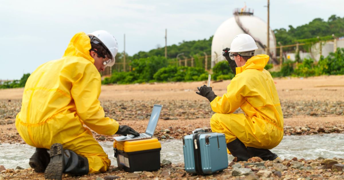
Traditional surveying methods struggle with these challenges. Manual field surveys require extensive teams and significant time. A single ground-based survey for large areas can cost $5,000 or more and still miss crucial data. Helicopter surveys, while covering more ground, cost between $3,000 and $10,000 per day. They also disturb wildlife and contribute carbon emissions.
The Species at Risk Act requires Canada to monitor threatened species and report progress. But traditional methods can’t cover the scale needed. By the time data from manual surveys is collected, analyzed, and reported, conditions may have changed significantly. Some populations decline faster than our ability to track them.
There’s another problem that numbers alone don’t capture. Many protected areas exist primarily on paper. Remote locations, limited budgets, or both mean that these areas receive minimal actual monitoring or enforcement. Without knowing what’s happening in protected spaces, we can’t know if protection is working.
What AI and Advanced Technology Actually Do
Artificial intelligence in conservation doesn’t mean robots patrolling forests. The technology manifests in more practical ways, often invisible to casual observers.
Computer vision models can identify species from camera trap images. A single camera might capture thousands of photos. Manually reviewing each image takes weeks. AI systems can process the same images in hours, identifying not just which species appear but counting individuals and noting behaviors. These models continue improving as they process more data.
Acoustic monitoring captures sounds across landscapes. BirdNET, an AI tool developed for bird identification, can now recognize approximately 3,000 bird species worldwide from their calls. Researchers deploy acoustic sensors in remote locations, and the AI analyzes recordings to track which species are present, when they arrive, and whether populations are changing.
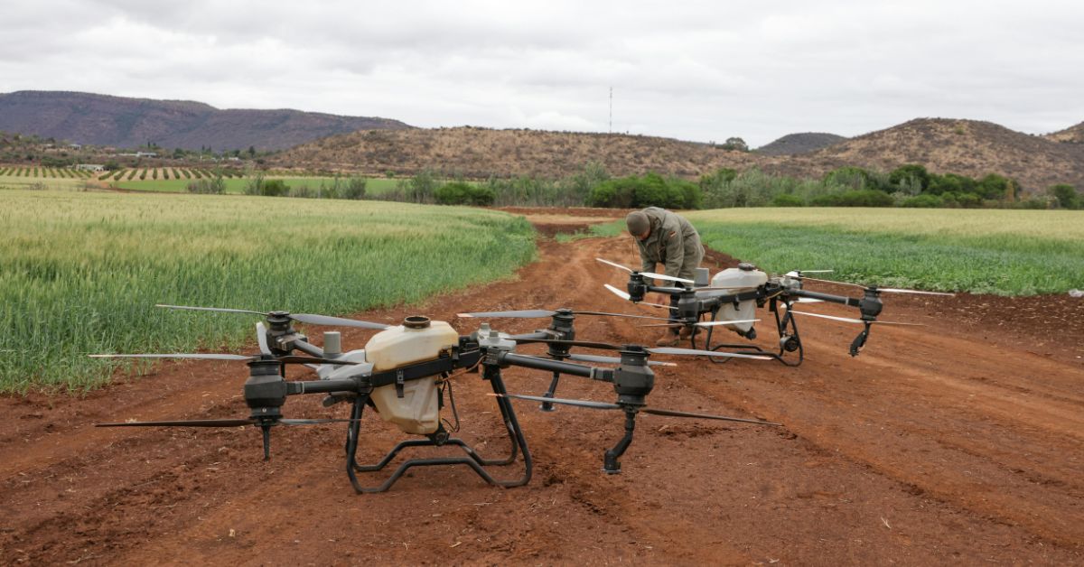
Thermal imaging from drones offers capabilities that seemed like science fiction recently. These systems can detect animals under forest canopy with 89% accuracy, operating in darkness or dense vegetation where traditional methods fail. The technology enables wildlife counts and monitoring without disturbing animals through close human presence.
Ducks Unlimited Canada provides a concrete example. The organization uses AI-powered drones to monitor invasive aquatic plants, specifically European water chestnut and Phragmites, at 40 sites from Brighton to Gananoque in Ontario. The system identifies and tracks these invasive species with accuracy that would require dozens of field biologists working continuously. In February 2025, this work won an Innovation Award, recognizing both its effectiveness and potential for broader application.
The Montreal Insectarium’s Antenna project demonstrates AI’s potential at a different scale. Using AI analysis of acoustic data and visual observations, researchers discovered 300 new species in a single week. This finding matters because approximately 90% of insect species remain undiscovered, yet insects play essential roles in ecosystem function. Traditional methods would have taken years to achieve what AI accomplished in days.
The Geographic Challenge
Canada’s vast geography creates unique problems for conservation monitoring. The country contains 24% of the world’s boreal forests and 25% of temperate forests. Wetlands cover 1.5 million square kilometers, contributing 25% of the world’s total wetland area.
This scale means that comprehensive monitoring using traditional methods is effectively impossible. No realistic number of field biologists could cover these areas with the frequency needed to track rapid changes. Climate change, invasive species, and other pressures don’t wait for annual survey cycles.
Technology addresses this challenge through continuous or near-continuous monitoring. Solar-powered camera systems can operate in extreme environments for extended periods. Networks of acoustic sensors capture data 24 hours a day. Satellite imagery combined with AI analysis can track changes across entire regions, flagging areas that need closer examination by ground teams or drones.
North Shore Rescue in British Columbia uses thermal drones that have reduced rescue response times by 40%. This application isn’t directly about wildlife conservation, but it demonstrates how the same technology can operate effectively in challenging terrain under difficult conditions. If thermal drones can find missing hikers in dense mountain forests at night, they can find and count wildlife populations in similar environments.
The technology doesn’t eliminate the need for human expertise. Instead, it extends the reach of that expertise. A conservation biologist can’t physically be in dozens of locations simultaneously, but they can review data from sensors and drones deployed across a large area, identifying patterns and problems that require direct investigation.
Real Applications in Canadian Conservation
Several projects demonstrate how technology can reverse Canada’s wildlife decline within the context of the 30×30 goal.
TELUS partnered with Dryad Networks and Flash Forest to deploy IoT sensors for wildfire detection at restoration sites. Early detection matters enormously for both ecosystem health and wildlife survival. Minutes can make the difference between a small fire that’s quickly contained and a massive blaze that destroys thousands of hectares. The sensors provide real-time alerts that enable rapid response.
Indigenous Guardians programs across Canada are increasingly adopting technology-enabled monitoring methods. These programs, numbering 238 or more, operate at scale across traditional territories. The integration of AI tools with Traditional Ecological Knowledge creates monitoring approaches that respect both Indigenous data sovereignty and the need for measurable conservation outcomes.
The federal government’s plans for a National Digital Platform for Biodiversity Conservation recognize that data quantity and sharing effectiveness are often more limiting than AI capabilities. This platform, discussed in roundtables convened by the Chief Science Advisor in 2024, would include a data repository and AI-enabled analytics tools. The goal is making biodiversity information readily available to decision-makers at every level, from local communities to federal agencies.
One finding from these discussions stands out. Participants noted that functional limitations are more likely to arise from insufficient data and inadequate data sharing than from limitations of AI tools themselves. This suggests that technology’s role in reversing wildlife decline depends as much on how we organize and share information as on the sophistication of algorithms.
The 30×30 Goal and Technology’s Role
Meeting the 30×30 goal requires more than drawing lines on maps. Protected areas must actually protect. This means knowing what exists in these areas, tracking changes over time, and detecting threats before they cause irreversible harm.
Quality matters as much as quantity. Canada could technically reach 30% protected area by designating large tracts of tundra or boreal forest where biodiversity pressure is lower. But this approach would fail to protect areas under actual threat or regions with high concentrations of endemic species. AI-powered geospatial analysis can help identify which areas most need protection by analyzing satellite imagery, existing biodiversity data, and pressure indicators like proximity to development.
The federal government has committed approximately $12 billion toward conservation goals. This investment creates both opportunity and accountability pressure. Funders, whether government agencies or private foundations, increasingly require measurable outcomes. Technology provides the measurement tools that demonstrate whether conservation investments are working.
Provincial and territorial leadership is essential. The federal government manages only 6% of Canada’s land mass. Meeting the 30×30 goal depends on actions by provinces, territories, Indigenous nations, and private landowners. Technology can facilitate coordination across these jurisdictions by providing standardized monitoring data that everyone can access and understand.
Honest Assessment of Limitations
Technology cannot solve every conservation problem. Several limitations deserve recognition.
High initial costs present barriers. Drones equipped with thermal and multispectral sensors can cost $20,000 to $40,000 or more. Computing infrastructure for processing and analyzing large datasets requires ongoing investment. Training personnel to use these tools effectively takes time and resources. Smaller conservation organizations or Indigenous communities may struggle to access technology without external support.
Data privacy and security concerns are real. Some conservation data could be exploited by those seeking to harm wildlife. Knowing exact locations of endangered species could assist poachers. Balancing data accessibility for legitimate conservation purposes against security risks requires careful governance.
Algorithm bias can produce misleading results. AI models trained primarily on data from certain regions or species may perform poorly when applied elsewhere. A species identification model trained on temperate forest birds might struggle with Arctic species. Continuous validation and refinement are necessary.
Over-reliance on technology carries risks. Some knowledge and capabilities are best acquired through direct field experience. Technology should augment human expertise, not replace it. The most effective conservation efforts combine technological tools with traditional field methods and Indigenous ecological knowledge.
Many datasets remain incomplete or biased. Historical monitoring often focused on charismatic species or easily accessible areas. AI analysis of incomplete data can perpetuate these biases, potentially missing important trends in understudied species or remote regions. Addressing these gaps requires sustained investment in comprehensive monitoring networks.
Indigenous Leadership and Data Sovereignty
Indigenous Peoples steward significant biodiversity areas across Canada. Any discussion of technology’s role in conservation must center Indigenous leadership and respect Indigenous data sovereignty.
The OCAP principles—Ownership, Control, Access, and Possession—provide a framework for Indigenous data governance. When AI systems process information from Indigenous territories or incorporate Traditional Ecological Knowledge, these principles must guide how data is collected, stored, analyzed, and shared.
Traditional Ecological Knowledge offers insights that technology alone cannot provide. This knowledge, accumulated over generations, includes understanding of ecological relationships, seasonal patterns, and long-term changes that might not be captured in short-term technological monitoring. Effective conservation requires integrating this knowledge with technological tools, not subordinating it to them.
Indigenous Guardians programs demonstrate how this integration can work. Guardians use traditional monitoring methods alongside modern technology. They might combine direct observation and traditional indicators with data from camera traps or acoustic sensors. The technology extends their reach but doesn’t replace their expertise or authority over their territories.
Sustained funding for Indigenous-led conservation is essential. Technology costs money not just for initial purchase but for ongoing operation, maintenance, and data management. Without reliable, long-term funding, even the most sophisticated technology becomes useless equipment gathering dust.
The Path Forward
Can technology reverse Canada’s wildlife decline? The honest answer is that technology alone cannot. But technology as part of a broader conservation strategy that includes policy commitment, adequate funding, Indigenous leadership, and public support can make reversal possible.
Several priorities emerge from examining current applications and limitations.
Investment in comprehensive monitoring networks matters more than investment in any single technology. Scattered, disconnected monitoring efforts produce fragmented data that’s difficult to analyze or act upon. Coordinated networks that share data and use compatible methods enable landscape-scale understanding of biodiversity trends.
Making data accessible and actionable should be as high a priority as collecting it. Canada needs the proposed National Digital Platform for Biodiversity Conservation or something similar. Conservation decisions happen at multiple levels—federal, provincial, municipal, and community. Each level needs access to relevant data in formats they can actually use.
Training programs must expand to ensure people know how to use conservation technology effectively. Technology is only as good as the people operating it. Conservation professionals, Indigenous Guardians, and community monitors need training not just in how to deploy sensors or fly drones, but in how to interpret the data these tools generate and translate that into effective conservation action.
Private sector engagement will become increasingly important. Companies are both producers and consumers of biodiversity-relevant data. Understanding their needs and developing incentives for sharing proprietary environmental data could substantially increase the information available for conservation decisions.
20-year monitoring commitments should become standard for restoration projects. Current funding cycles often provide resources for initial restoration work but not for long-term monitoring that determines whether the work succeeded. Technology makes long-term monitoring more feasible by reducing labor costs, but funding structures must support these sustained efforts.
The 30×30 goal has a deadline. By 2030, Canada either will or won’t have protected 30% of its land and water. More importantly, by 2030 we’ll know whether protected areas are actually reversing wildlife decline or simply delaying it.
Technology provides tools that can help answer this question. AI can process vast amounts of monitoring data, detect changes quickly, and help identify effective interventions. Drones can survey remote areas regularly without disturbing wildlife. Acoustic sensors can track species presence across landscapes. Satellite analysis can reveal habitat changes at regional scales.
But these capabilities mean nothing without the commitment to use them effectively, the investment to deploy them at scale, the governance to ensure data serves conservation goals, and the humility to recognize that technology supplements rather than replaces traditional conservation knowledge and methods.
Canada has the expertise, the technology, and, arguably, the financial resources to reverse wildlife decline and meet the 30×30 goal. What remains to be seen is whether the political will and societal commitment match the urgency of the situation. Technology can show us what’s happening and help us respond faster and more effectively. Whether we actually use it that way is up to us.