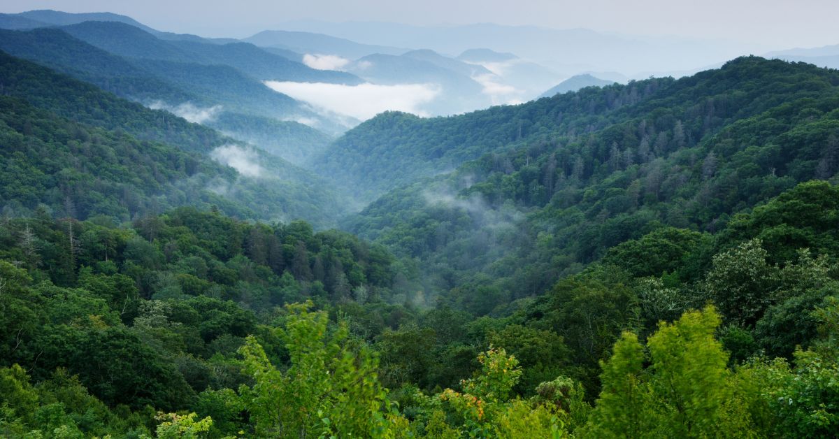
Canada’s natural heritage is enormous. The country spans 15 million km² of land and water, with about 70,000 known species of plants, animals and fungi. Nearly 24% of the planet’s wetlands and 20% of its freshwater lie here, and about 8% of the world’s forests. A huge part of that is the boreal forest 270 million hectares of it home to over 140,000 species. It hosts massive populations of wolves, grizzly bears, woodland caribou and billions of migratory birds each year. These ecosystems give us clean water, timber, fertile soil and even climate stability (the Canadian boreal stores more carbon than any tropical forest). Yet this wealth of life is under pressure. For example, WWF reports that populations of at-risk species in Canada have fallen about 59% on average since 1970. Better data are key to understanding and reversing such declines.
Collecting that data is not easy. Canada’s sheer size and remoteness pose a problem: “Measuring biodiversity across Canada is often challenging,” notes the federal biodiversity strategy, since the country is vast, sparsely populated far from the U.S. border, and spans diverse regions and climates. There are about 80,000 wildlife species known here, yet a 2020 report assessed only ~50,500 of them. Of those assessed, 20% were at some risk of extinction, and for many others “there is not enough information available to properly assess” their status. In plain terms, we literally can’t manage what we haven’t measured.
Despite some monitoring programs, data remain patchy. Field surveys by government and NGOs cover only a sliver of habitats. Many surveys focus on charismatic animals or accessible forests, leaving plants, insects or far-north ecosystems under-surveyed. Data sit in silos (government departments, universities, NGOs have their own databases), and methods vary by region. Even basic baselines like how much caribou habitat exists, or where key wetlands are can be unclear or outdated. And climate change adds a wild card: as the Arctic warms or fires sweep forests, ecosystems shift fast. In short, Canada is big, its biodiversity is complex, and our conventional data efforts can’t keep up. (The government itself admits better monitoring is needed to know if conservation actions are working.)
Yet there are reasons to hope. Technology is starting to help fill those data gaps. Powerful satellites and drones, smart sensors and citizen science apps are opening new windows on our wild places. For example, natural resource agencies are using satellite imagery and machine learning to map Canada’s landscape at unprecedented scale. It takes about 36,000 Landsat satellite scenes and 665 billion image pixels to cover all of Canada, but once processed through advanced algorithms, we get detailed land cover maps. These continental maps (part of the North American Land Change Monitoring System) reveal changes from year to year forest loss from fires around Great Slave Lake, expanding agriculture, melting ice and such data feed directly into wildlife habitat models and carbon tracking. In fact, experts note that “many users depend on these [land-cover] data for research related to wildlife migration and habitat mapping, ecosystem monitoring, carbon sequestration… and a number of other applications”. Importantly, these maps and datasets are shared freely online, so any researcher or local group can tap them for their work.
The Canadian Space Agency (CSA) is pushing this frontier further. Through its smartEarth program it’s funding dozens of projects that combine satellite data and AI to monitor biodiversity. These projects include using AI to spot invasive plants from space, track salmon habitats, measure algal blooms in lakes, and even count migratory birds. (One example: a team will integrate satellite images into Canada’s largest bird-data platform, NatureCounts, to better model bird populations.) In total the CSA is investing millions to help tech firms and Indigenous partners build new tools with Earth observation data. The goal is to turn raw imagery into “actionable information to safeguard biodiversity” for instance, by alerting managers to a beetle-kill outbreak in forests or ice conditions that affect caribou migration.
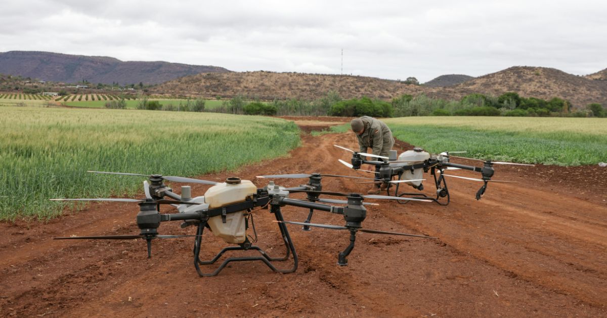
Meanwhile, drones and ground sensors are getting smarter. Drones allow researchers to survey sites that would take days on foot, and carry powerful sensors. In a Quebec project, McGill University scientists attached a hyperspectral camera to a drone to “photograph biodiversity from the sky”. Unlike normal cameras that see red-green-blue, a hyperspectral sensor splits light into hundreds of wavelengths. That way, each plant species gives a unique spectral signature. The team is building Canada’s first “spectral code” database of plants, which can rapidly identify species and their stress levels from above. These aerial surveys can detect things human surveyors might miss (like small invasive reeds in wetlands). As one researcher joked, “If we had the opportunity, we would map all of Canada!” – at least in theory. (For now they are focusing on vulnerable sites in Quebec, Yukon, and B.C.) The idea even extends upward: future hyperspectral satellites could eventually scan vast areas in real-time for ecosystem changes, according to project leads.
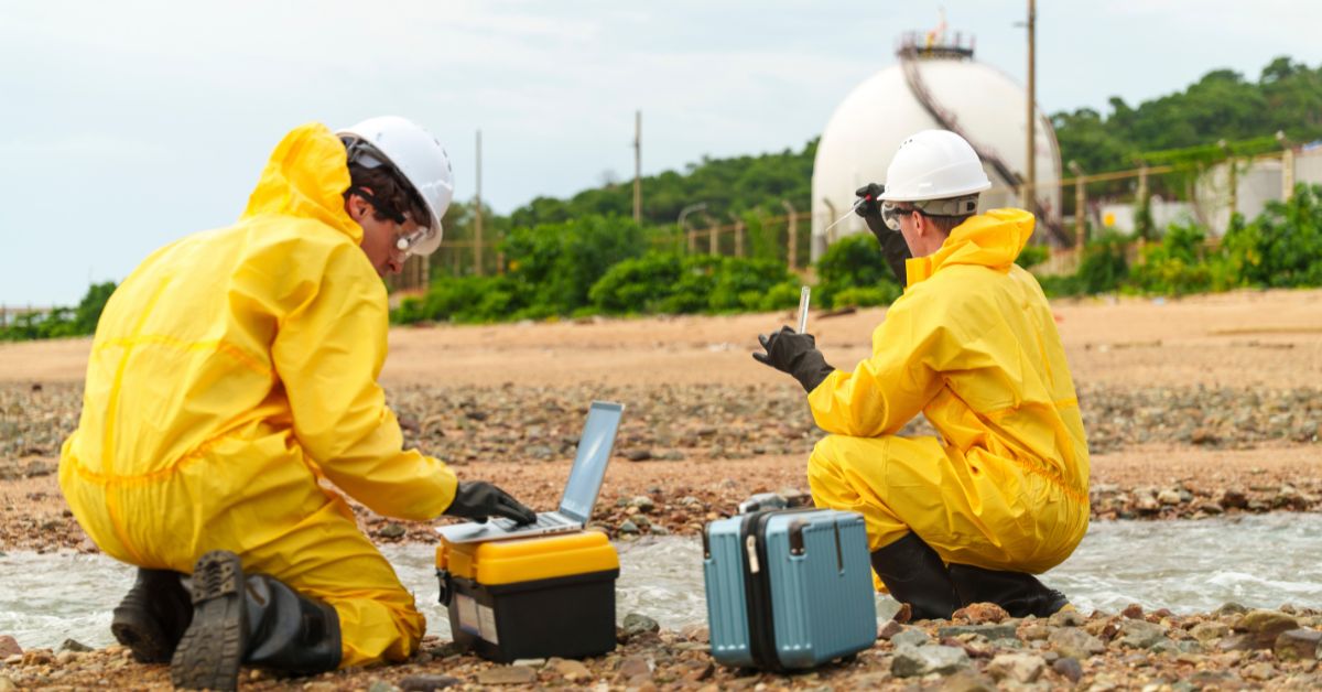
Modern drones and sensors can “see” a lot. For example, flying drones with multispectral cameras is letting scientists survey forests and wetlands quickly. Each aerial image pixel (in one study) covered only 9 cm² of ground, but a drone can scan kilometers of habitat per day. Besides cameras, researchers deploy acoustic recorders that catch bird songs or frog calls, and camera traps for mammals. New tech like environmental DNA (eDNA) tests even sample soil or water for trace DNA of species (fish, frogs, insects), so we know what lives there without spotting it visually. These methods massively multiply what a single field biologist can do alone. The data they collect from pixels to sound to DNA all get sent to databases and processed by AI. In short: tech is turning wild nature into data that computers and people can analyze.
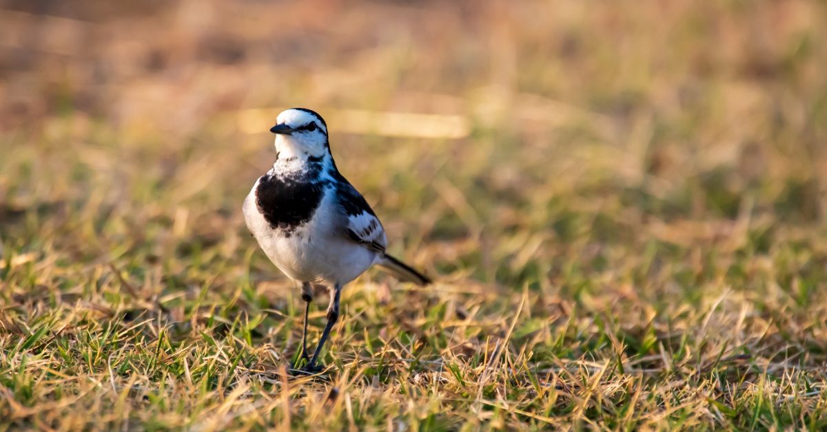
Even everyday people are helping. Canada’s many parks, hiking trails and backyards are now crawling with citizen scientists using apps. Platforms like iNaturalist and eBird let anyone snap a photo or note of a plant, bird or insect on their phone. Remarkably, these user observations have ballooned into huge datasets. Globally iNaturalist has 130 million records, and in Canada about 9.8 million observations covering almost 35,000 species. Birders on eBird have logged over 1.3 billion bird sightings worldwide. Such crowdsourced data help fill gaps in remote areas and for species not covered by formal surveys. Of course, citizen data need vetting (so unusual sightings are checked by experts), but overall they dramatically expand our coverage. Canadian researchers are even developing statistical tools to correct for the biases (like people photographing common backyard birds more than hidden orchids) in these massive “presence-only” datasets. The result: better maps of where species are actually found.
On the data platform side, Canada is building the infrastructure to hold all this information. The federal Open Science and Data Platform lets users query tens of millions of biodiversity records in one place. For example, NatureCounts alone houses over 100 million bird data points with tools for tracking trends. Provincial initiatives like WildTrax and university networks also open data. On top of that, machine learning and AI are pulling everything together. Software now can automatically flag deforestation on satellite maps, count herds in aerial photos, or match millions of citizen-science photos to species ID. High-performance computing makes it possible to digest petabytes of data (as we saw, hundreds of billions of pixels) and spot patterns a human would miss. The trick is linking these pieces: someday apps on your phone could warn you if an invasive plant is nearby (based on satellite alerts), or satellites could cue drones to check on a dying forest patch detected from space.
Some things will always need boots on the ground, and people thinking. For that reason, Canada’s strategy stresses combining tech with traditional knowledge. Indigenous communities have deep local knowledge of landscapes and species, and tech tools are being designed in partnership with them. For instance, many projects ensure Indigenous data sovereignty, meaning communities control how their knowledge and data are used. The federal strategy even says we must “mobilize biodiversity data… and insights” in a way that connects all Canadians to nature. In practice this means maps and apps will eventually reflect both satellite info and Indigenous land-use maps or oral histories. That broader view of knowledge will make data more useful and trustworthy.
Companies large and small are jumping in too. Some cutting-edge startups (for example, Toronto-based Aerowild Tech) are equipping drones with advanced cameras and software to survey forests and wildlife, aiming to build rich biodiversity inventories. Others are putting sensors on trees or buoys, or using AI to model habitats. These innovations have a real home market here, because Canada’s governments and industries need this data. In fact, Environment and Climate Change Canada has called for more tech in conservation, citing our 2030 nature goals and the need for “actionable information to safeguard biodiversity”. The international momentum is there too: across North America, teams are harmonizing data so that a wildlife corridor can be tracked seamlessly across borders.
In the end, the message is that Canada’s wildlife and wild places will only be protected if we know what’s happening. Better data make better decisions from where to set aside a new park, to how to fight a forest pest, to showing communities the value of an ecosystem. And Canada is finally moving from data scarcity to data abundance. Satellites and drones are giving us bird’s-eye views; citizens with smartphones give us ground truth; and AI ties it all together into insights.
There’s still a way to go. Not all regions and species are covered yet, and we need to keep funding these efforts. But by embracing technology always paired with local knowledge Canada is building the “digital eyes” we need on nature. That will help ensure that the rich biodiversity we cherish doesn’t just exist on paper, but thrives in the real world.